Active Travel Proposal
Everything in this proposal comes under the NYC Portfolio of Highways and Transportation, Cllr Keane Duncan.
Due to the evident absence of cycling as a means of transport within Whitby and District and the inherit pedestrian unfriendliness of the road-oriented urban areas, we focus on local people being able to develop their lives and live active lifestyles (walking, cycling, scooting etc), as well as unlocking the potential benefits of cycling. The visitor will also benefit from some of these proposals, but the focus should always be first and foremost the resident. In this proposal we concentrate on providing infrastructure to allow travel between areas of Whitby and District.
This is defined by a 10-point proposal, below.
- Default 20mph speed limit in urban areas (residential, and urban centre), to provide pedestrian-friendly and bike-friendly space without cycle infra.
- Local Cycling Walking Infrastructure Plan (LCWIP), defining travel corridors for pedestrians and people on bicycles.
- Cycle Infrastructure : CinderTrack Access, providing much needed access to utilise the current CinderTrack.
- Cycle Infrastructure : East West Route, providing a primary commuter route between residential and retail areas between east and west.
- Cycle Infrastructure : CinderTrack northern extension, following the NYMNP/Sustrans outline proposals to go to Sandsend and beyond.
- Cycle Infrastructure : Whitby Promenade, providing a sea-front cycle circuit.
- Cycle Infrastructure : Prospect Hill Line, providing a connection from viaduct to town centre.
- Cycle Infrastructure : Esk Valley Line, providing the start of a route alongside the Esk and NYMR.
- Secure Cycle Storage, providing multiple locations for (secure) bicycle storage in Whitby town centre area, as well as some villages.
- Bike Rental Schemes, providing access to bicycles for different groups of people.
1. Default 20mph in urban areas
To make urban areas pedestrian friendly there has to be a rebalancing between the needs of vehicle users, and of pedestrians. Similarly to make use of a bicycle safer in urban areas it is not always possible to make use of cycle infrastructure (due to cost, or road width etc). The solution to this is to bring in a default 20mph speed limit in urban areas. The details of this campaign are on a separate page.
Status : Default 20mph motions passed by Whitby Town Council, Lythe Parish Council, Mickleby Group Parish Council and Egton Parich Council. Awaiting implementation by NYC.
2. Local Cycling Walking Infrastructure Plan (LCWIP) - COMPLETE
This proposal was for the development of a Local Cycling Walking Infrastructure Plan for Whitby, and proposed a series of routes to be included.
Subsequent to campaigning, Whitby now has an adopted Local Cycling Walking Infrastructure Plan (LCWIP), shown on the map below (from Whitby & Esk Valley Active Travel).
Status : The Whitby LCWIP was adopted by NYC in May 2025.
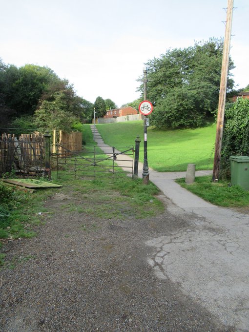
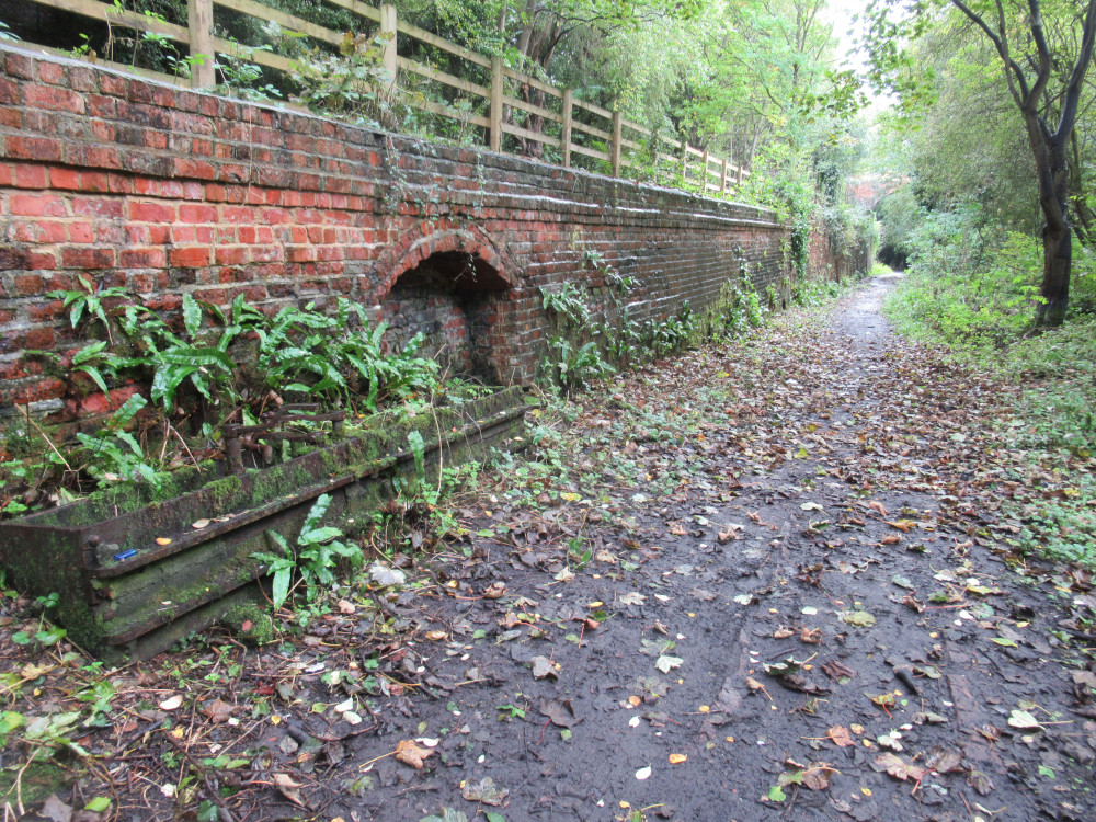
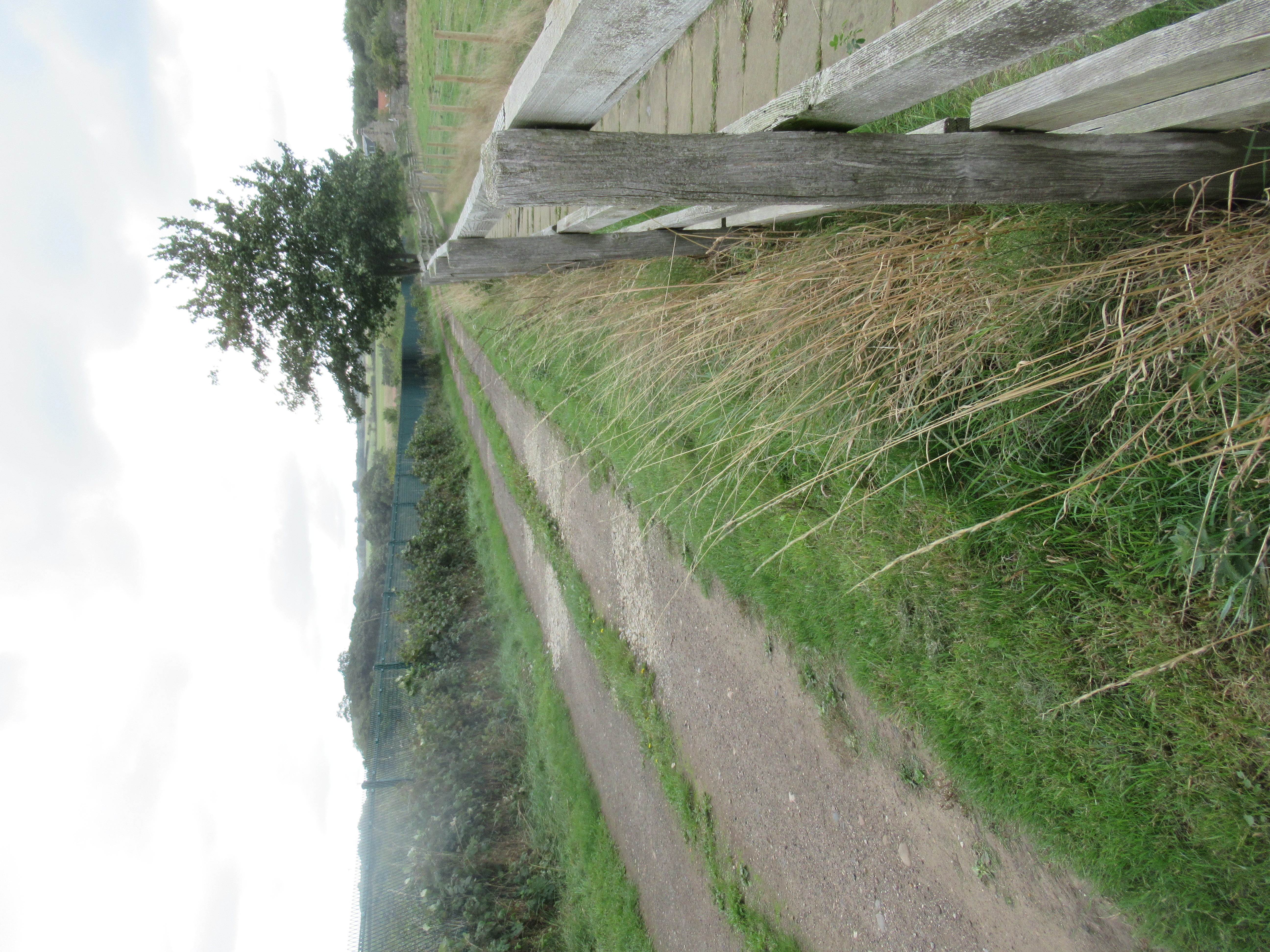
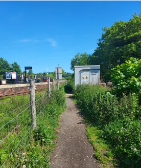
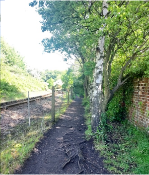
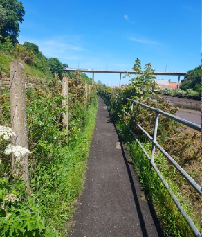
3. Cycle Infrastructure : CinderTrack Access
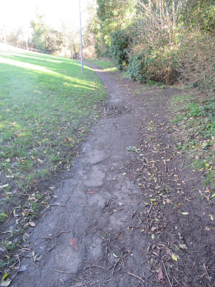
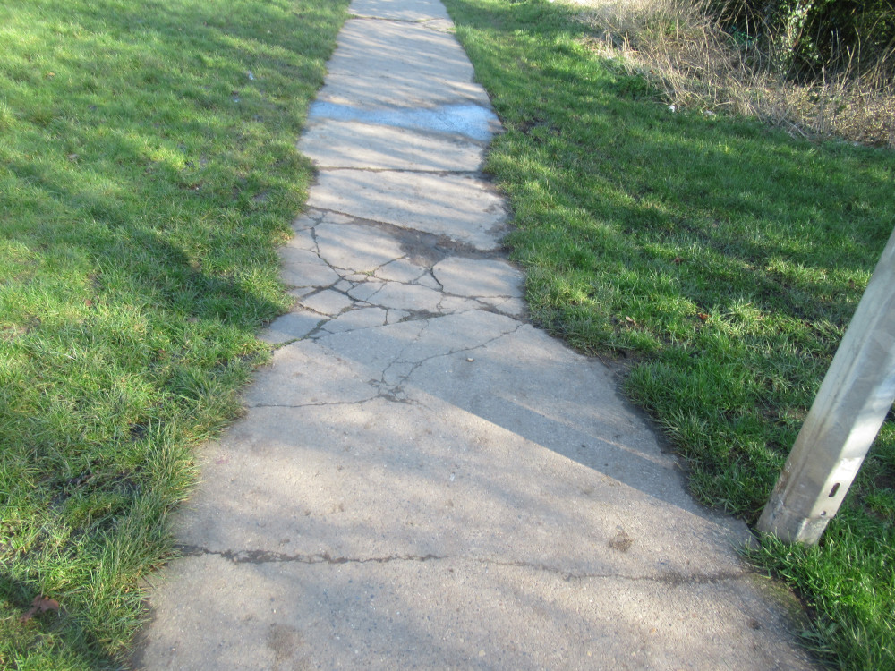
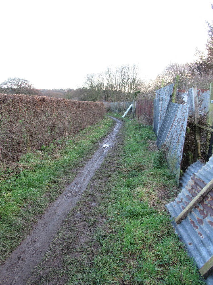
To address the poor access to the CinderTrack within the Whitby urban area, this proposal provides a series of paths attempting to remedy the connectivity from residential areas to the sole path currently present.
Stakesby Vale Beck Path
The path along Stakesby Vale Beck, dating from the 1970s, is long overdue an upgrade currently discriminating against cyclists (cycling prohibited sign at the end of Stakesby Vale, reported to NYCC, issue 71511) and disabled (concrete steps just beyond the end of Stakesby Vale, reported to NYCC, issue 71541). The connecting paths from the Kirkham Road area would also benefit from being made disabled friendly if possible. It should also be borne in mind that the Stakesby Vale green space was classified as being of “Poor” quality at the SBC Audit in 2014 and it has not been improved since, so any walking/cycle path could be integrated with a general improvement package of work. The beck path should be replaced by a 3m wide surfaced shared path, with optional tree planting on the opposite side with benches at intervals, and would provide a radial access corridor in the direction of Whitby town centre, connecting existing and future housing developments on the western edge of town, linking to the CinderTrack start, as well as to Caedmon College. One good aspect of this path is that there is already lighting, which will be essential if cycling is ever to become a common form of transport.
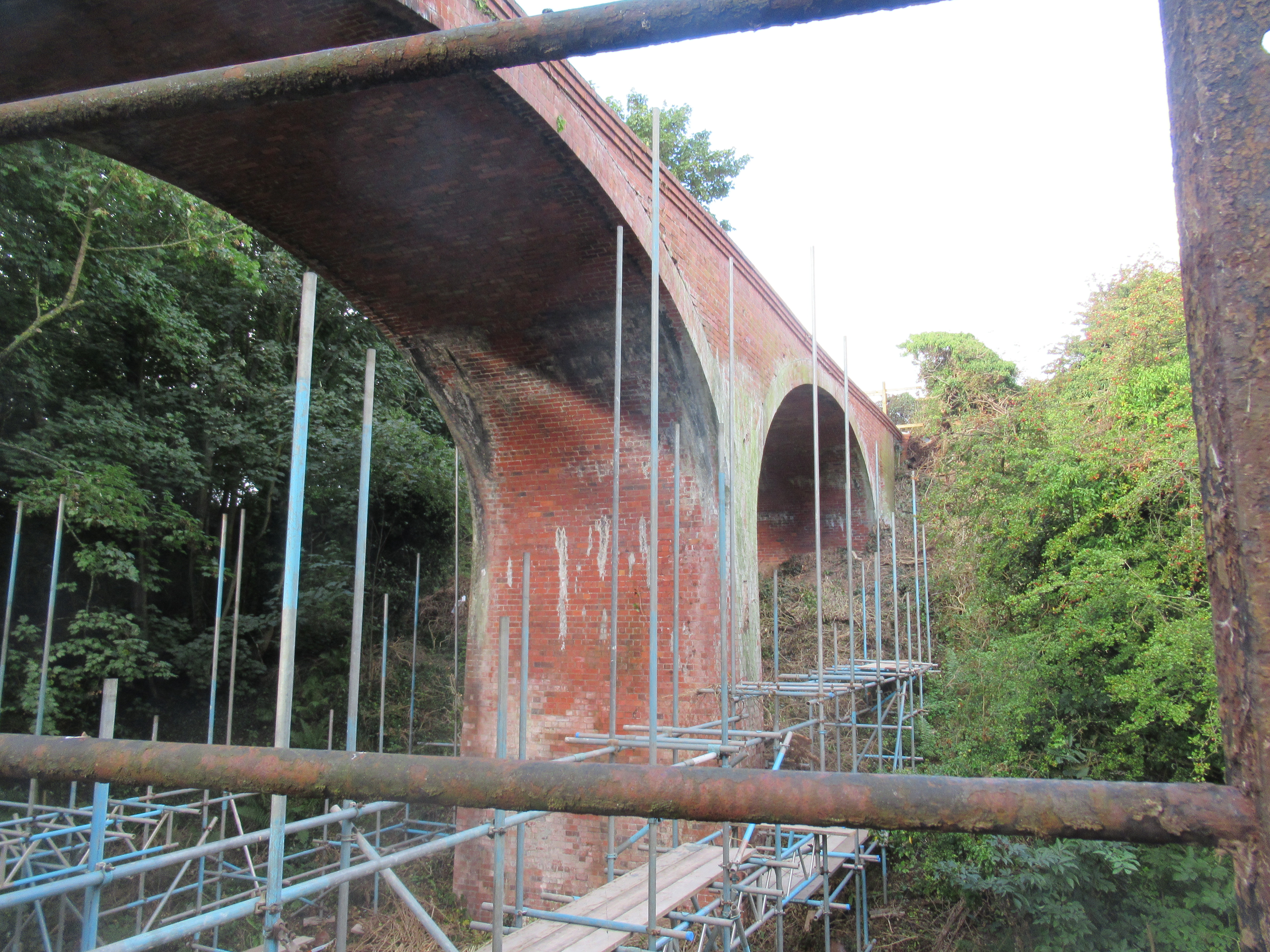
Prospect Rise Bridge Access
The CinderTrack has a disused bridge between Prospect Hill and Monkeybridge junction, last accessible in the 1980s, was overgrown for many years and having drainage issues. This bridge should be reinstated (structural assessment, reinstate the retaining walls, and replace the surface). This route would connect to Mayfield Road at the farm track (make it not for vehicular access), follow down to Anchorage Way, and then navigate through the Prospect Rise estate (it was mentioned on the planning for this estate the possibility of connecting to the CinderTrack, so this is simply realising that ambition), along Endurance Way and across to the corner of the plot, through the hedge with the Prospect Hill allotments. It would then make use of the bridge across the CinderTrack and, by surfacing the footpath alongside the Caedmon College playing fields, connecting to the CinderTrack at Monkeybridge junction. Some negotiation with the allotments would be needed since the corner plot would likely need to give up some land to permit access to the bridge.
Caedmon College Playing Fields Path
Residential in the Railway area has a path up to the New Bridge (and under to Caedmon College sixth form). The existing NYCC footpath across Caedmon Sixth Form playing fields should be surfaced, and connects to the CinderTrack at Monkeybridge junction. This should be supplemented by making the pedestrian footpath alongside Waterstead Lane a min 2m wide shared path, along with the path behind Airy Hill Primary School, and ensuring connectivity at the Caedmon College Sixth form side of the footbridge. One potential problem is that on the Caedmon College Sixth Form side of the footbridge there is currently a barrier preventing access down to where the footpath goes across the playing field, this needs opening up, maybe with fencing to separate the school access.
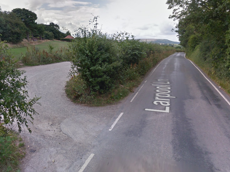
Larpool Lane Separated Path
Residential in the Larpool area currently has a dangerous Larpool Lane approach; this should be replaced with a designated path in Larpool playing field (+ subsequent unused field).
Broomfields Farm Housing Development Access
The Broomfields Farm housing development will apparently obtain access to the CinderTrack as part of its Phase 2 development, and so is not covered here as requiring additional funding. The precise points of connecting to the CinderTrack are not currently defined but will be during the Phase 2 planning process.
4. Cycle Infrastructure : East West Route
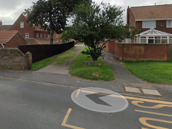
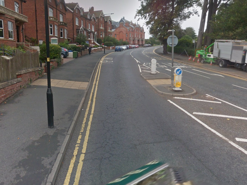
Significant traffic flows between east and west sides of Whitby, to/from retail and work. The provision of a cycle path along the Helredale Road, New Bridge, Mayfield Road, Stakesby Road and Love Lane route would provide an easy access route, convenient for all residential to get across the town, and have the potential of convincing a significant number of car journeys to be replaced by bike. Whilst the (extended) Cinder Track will provide a route through the town, it will not be particularly close to several residential areas, hence why this route is proposed, providing a more direct link.
The highest risk aspects of this route are
- road width on Love Lane. An option would be to make use of the SBC owned former golf course land behind Love Lane on the west.
- road width along Castle Road
- road width at the top of Stakesby Road. Where it widens out, this would not be a problem.
- road width near the main entrance to Caedmon College.
Included in the East-West route is a link from Helredale across around the top end of Calla Beck, connecting to New Gardens, and then to Green Lane, enabling the Green Lane community to link to the cycle network. Note that this also has the added benefit that people wishing to visit the Abbey have a route from the CinderTrack across to Helredale then Green Lane, and a short ride to the Abbey.
5. Cycle Infrastructure : CinderTrack Northern Extension
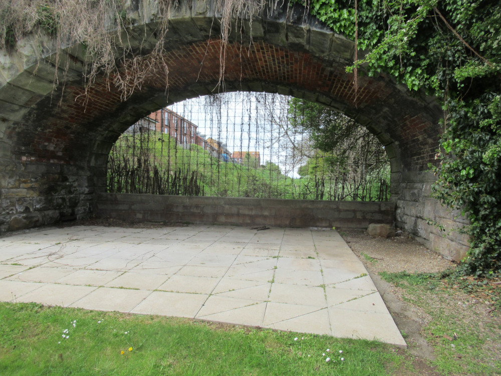
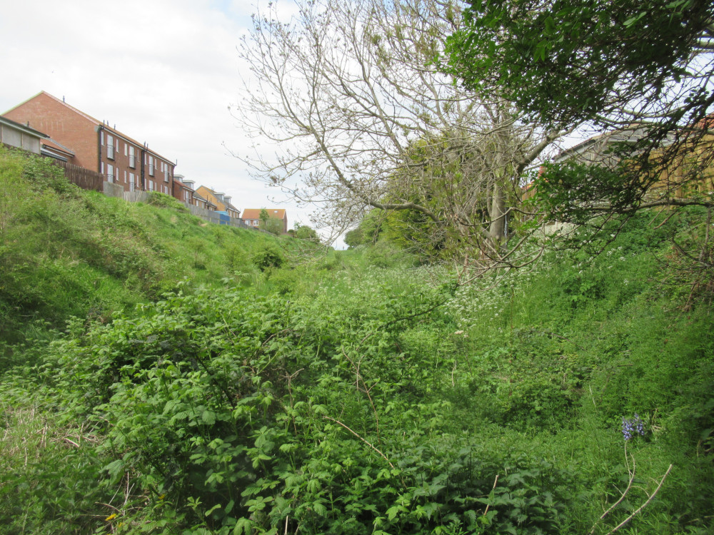
Sustrans have done exploratory work with NYM National Park with regards to extending the CinderTrack from its current end point, out to Staithes. To facilitate this, the current CinderTrack needs to be extended firstly through Whitby to Sandsend Road, and then along Sandsend Road to Sandsend. This should offload a frequent bus route by providing safe active travel for school/work/leisure activities. Our proposal, which concurs with the Sustrans outline view for reaching Sandsend Road, should descend Southend Gardens, and then have a dedicated cycle path up Chubb Hill as far as Rievaulx Road, and use the green space alongside this road, ascending to Bylands Road, around to the tree-lined cut through on to Stakesby Road. It will then utilise the existing crossing, and, with minor changes to the path in to Beeching Mews, arrive at the old West Cliff station. It would then require the removal of the low wall and mesh fence under the bridge following the original track route, and follow over this green space, as far as the corner of Sandsend Road.
A separated cycle path alongside the 60mph Sandsend Road would provide safe travel onwards.
The highest risk aspects of this route are
- the path through from Stakesby Road to Beeching Mews is narrow.
- Sandsend Road is narrow in a few places, particularly around Upgang Beck.
One addition to the Sustrans plan, to align with the Whitby Blueprint document, is to have a crossing over Chubb Hill, into Pannett Park with a bike parking/storage facility.
The further extent of the Sustrans / NYMNP work-in-progress to extend to Staithes can then proceed from Sandsend, along the approximate route of the old railway line, though this is not part of the path proposed here, albeit equally desired by local residents.
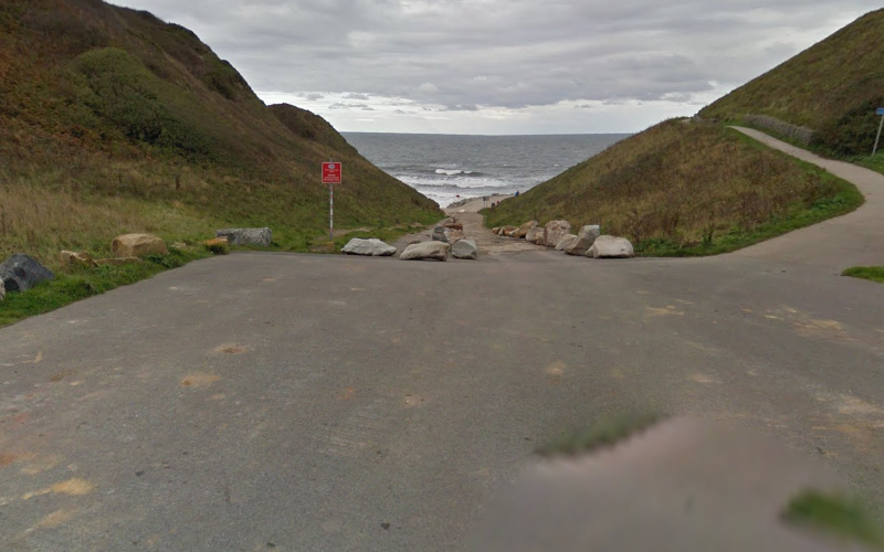
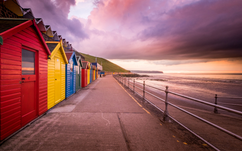
6. Cycle Infrastructure : Whitby Promenade
There is already a path down Spa Drive, going under Whitby Pavilion, and down on to the sea wall. It currently has no signage as to the permissibility for bike use (except one sign on the entry to the Ravine off Sandsend Road). Permission should be clarified and the path / seawall sign-posted as a (shared) cycle path with signs on Spa Drive, just after Whitby Pavilion, and at intervals along the sea wall. Note that the promenade cycle path continues to the top of the Ravine, where it will link with the proposed CinderTrack Northern Extension path, below.
There is currently a public footpath on Tuckers Field, alongside the pitch-and-putt on West Cliff. This should be surfaced and marked as a shared path, connecting to Upgang Lane (beyond the bowling green) and the leisure centre (with suitable bike parking). This would mean that SBC would need to remove this area from the green space that they appropriate to run an “overflow car park” on … but then they should not be utilising green space for that in the first place.
As an alternative to the sea wall path being permissible for cycling, the other option would be to provide a cliff top path, from the end of Sandsend Road along as far as the path across Tuckers Field, and maybe to the Whale Bones. This can run alongside the existing pedestrian footpath and space should not be an issue on this section of the cliff top.
7. Cycle Infrastructure : Prospect Hill Line
During the time of the railway, this line served as a connection between West Cliff and town centre. The majority of the land involved is owned by Network Rail / Caedmon College, and would need a fence installing alongside the existing (live) rail line. It has a gradual gradient and would be a perfect way of accessing town centre by bike for people wishing to access the CinderTrack as well as residential. It was originally mentioned as a route in the Sustrans report to SBC (funded by Gateway Whitby) in 2017. It could have a bike parking / storage facility near Tourist Info.
The highest risk aspects of this route are
- drainage needs fixing on the upper section of the line alongside the retaining wall with the Cinder Track
- several trees will need removing after passing under the viaduct.
- when descending down to the level of the (live) railway line, the available width is limited, and so may need a ramp up on to the path alongside Gledhill Drive.
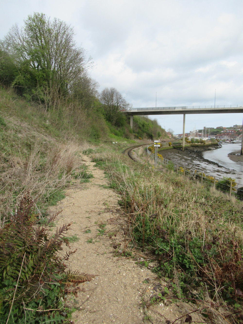
8. Cycle Infrastructure : Esk Valley Line
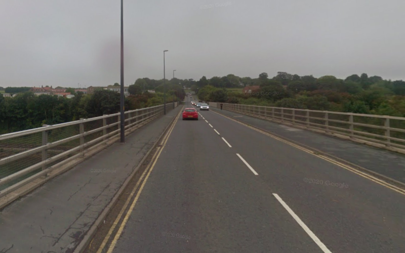
Whitby is surrounded by many villages, and it is essential that we provide connectivity for their residents. We also need to bear in mind the current (2022-2027) management plan for the North Yorkshire Moors National Park where its chief executive Tom Hind aims to make the park the premier family friendly cycling destination in the north (Objective 16). We concur with this aspiration, and we feel that the route below would be a significant step towards that aim if it could be realised. This route is proposed to connect villages along the Esk Valley, providing a safe healthy way to get down the valley, as far as Whitby, both for tourists and residents alike. The current NCN route 165 goes around Danger Bank, and later on has to cross the A169 (with traffic at 40+mph). This route is not often used, unsurprisingly given the number of near misses on that route, even for pedestrians, and a replacement has been desired for some time. We propose routing off the Prospect Hill line in front of Egremont House (subject to space between that property and the live train line) and join up with Water Lane (resurfacing required), down Ruswarp High Street (20mph road) onward to Briggswath along The Carrs (20/30/60mph road), with use of the ramp and bridge across the Esk towards Sleights. Should a route in front of Egremont House not be possible, then a route behind it should be explored. It would be highly desirable to avoid crossing the A169 near Sleights (maybe by going under the road, like the rail line does), extend this onwards to Grosmont (undefined route at this point) and then Goathland (via the “Rail Trail”).
The highest risk aspects of this route are
- ability to find a route from Prospect Hill line around the front of Egremont House to avoid ascending, or otherwise around the back of it.
- the area prior to joining and including Water Lane are on a flood plain, so the surface may need to be raised.
- the stream flow on Water Lane may need the provision of drainage
- the road width on The Carrs is likely inadequate in places and so land purchase may be necessary.
- onward routing beyond Briggswath is undefined currently.
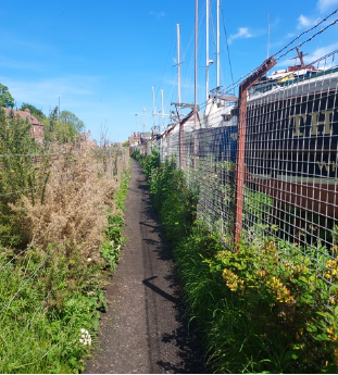
Included in this proposal is the idea of upgrading the footpath alongside the railway line from Whitby to Ruswarp, but should a path around Egremont House be possible then this can be discounted and remain as a footpath. Should it be required, then this could be made to 2m along the majority of the route with suitable cutback of vegetation, and possible removal of (a few) trees. The part which would likely require land negotiation would be the section which borders Coates Marine approaching Whitby. There are 2 paths currently, one alongside the river, and a second alongside the railway line. Perhaps a compromise would be for Coates Marine to take on the land alongside the bank, resulting in a wider path alongside the railway line (or vice-versa).
9. Secure Cycle Storage
Providing a modal shift in transport towards bicycles does not just involve provision of safe infrastructure so that people can get about. It also involves providing places where bikes can be stored safely; bikes can be expensive, particularly e-bikes, and their security is critical. It would make sense to have 2 or 3 locations providing this, linking up with the cycle network. The locations suggested on our outline cycle network plan are Marina Car Park (for bikes coming in from the Prospect Hill line, and Station Sq traffic), Pannett Park (for bikes coming from the Cinder Track), and possibly one on West Cliff. This could be expanded to provide storage in villages also.
10. Bike Rental Schemes
Not everyone has ready access to a bike, either due to not using one enough to warrant purchase, not being able to afford to purchase (particularly e-bikes), or simply due to being on a visit to the area. We should provide schemes to cater for all of these 3 demographics.
We want to support the circular economy and recycle bicycles wherever possible, and establishing a mechanism for this is particularly desirable. This would need to cater for collection of unwanted bikes, followed by stripping down and rebuilding, then providing them to people in the local community that would otherwise not be able to afford a bike
SBC/YNYLEP did an investigation for an e-bike rental scheme centred solely around the Green Lane area. This area has no cycle network to utilise so would not reap the proposed benefits. Once the cycle network above is realised then this type of scheme should be expanded to cover the whole of the Whitby and District area, with locations in villages such as Ruswarp, Sleights, Grosmont etc.